AS-BUILT RECORDS
Reporting your project is being constructed to the project's specifications and documenting changes made in the field are critical to the records accompanying your final product.
COMPUTER AIDED DRAFTING

Using Autodesk's AutoCAD Civil 3D, we can process ,analyze, and report on collected field data by means of concise drawings representative of acutal field conditions.
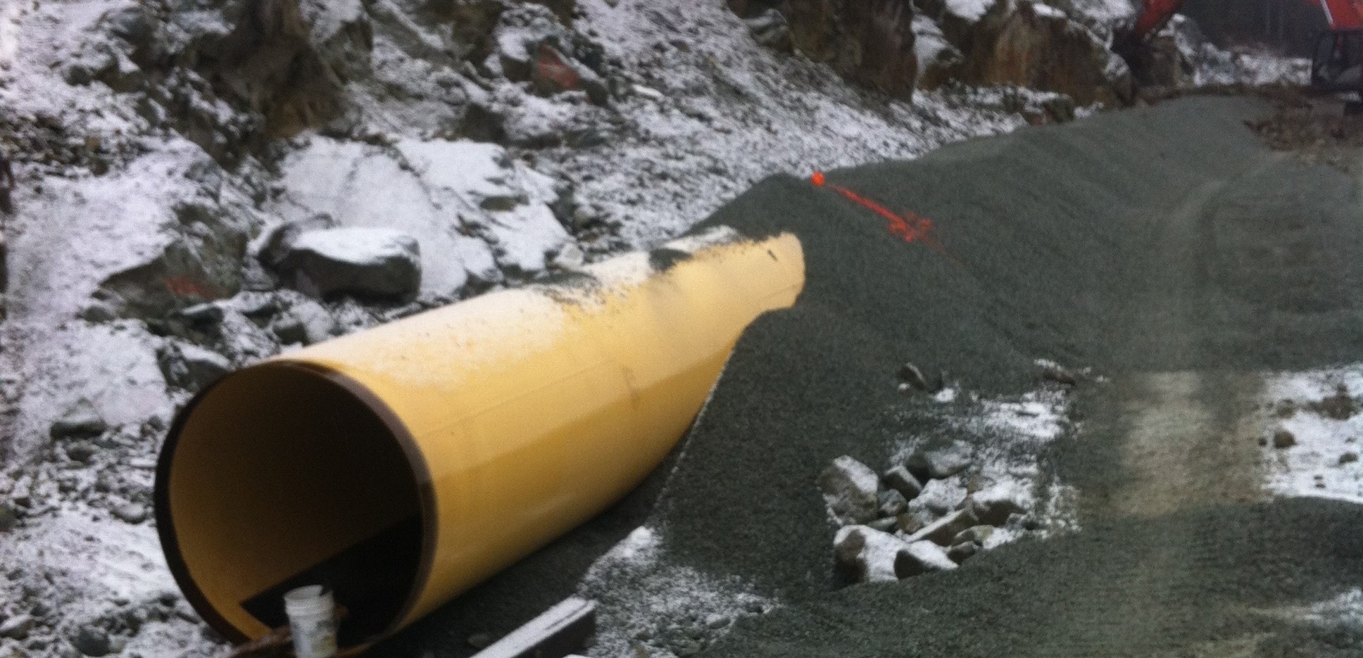
CONSTRUCTION LAYOUT
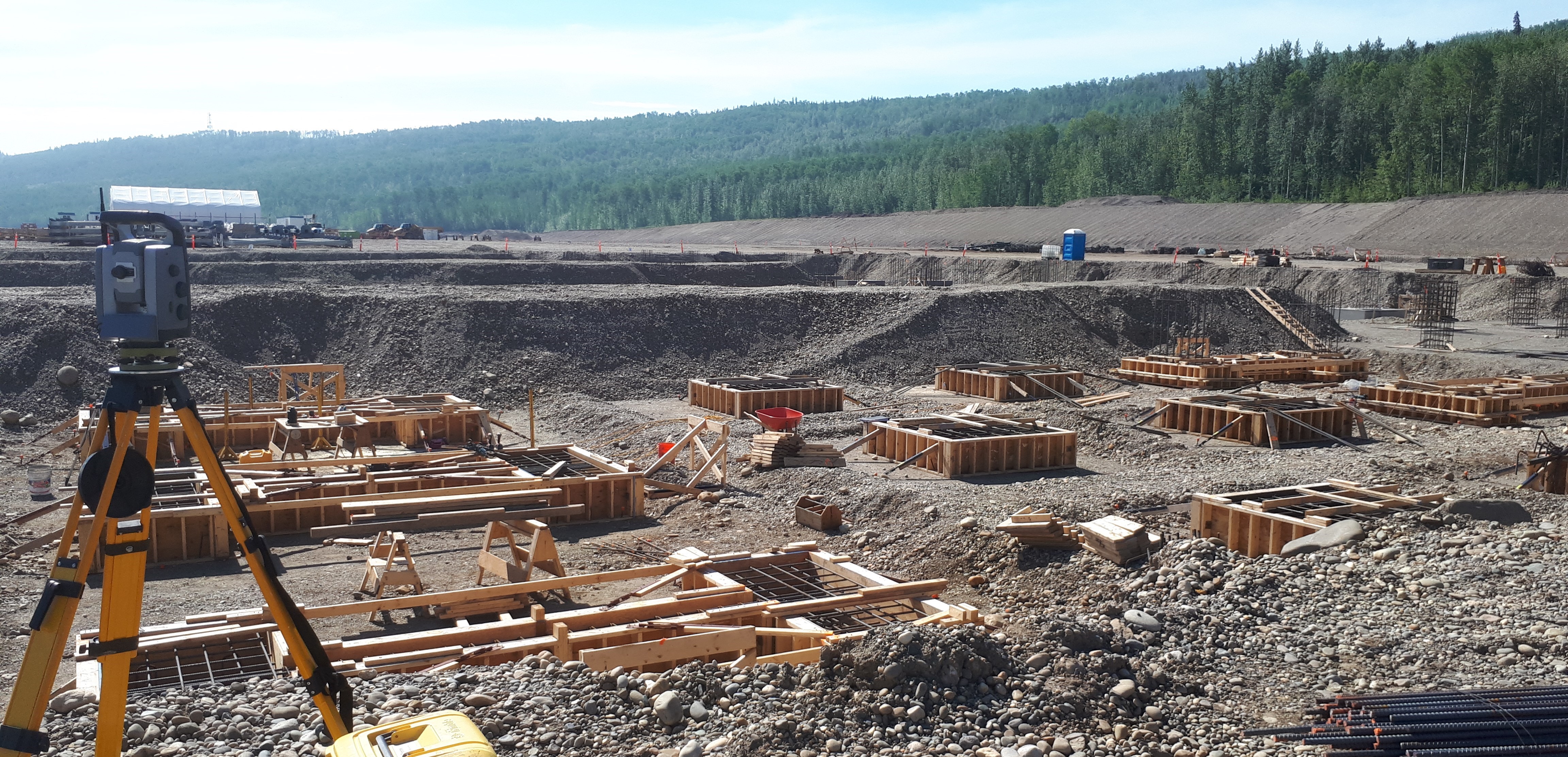
From earthwork staking, to setting pipe/penstock alignment and grades, to setting concrete formwork and their associated embedments. We will make sure your structures are where they should be.
MACHINE CONTROL FILE SUPPORT
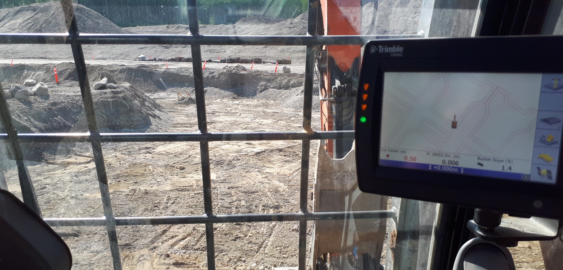
With the increasing use of GPS integrated machine control systems, we are proficient with the creation and support of their field files to keep the dirt flying.
MONITORING SURVEYS
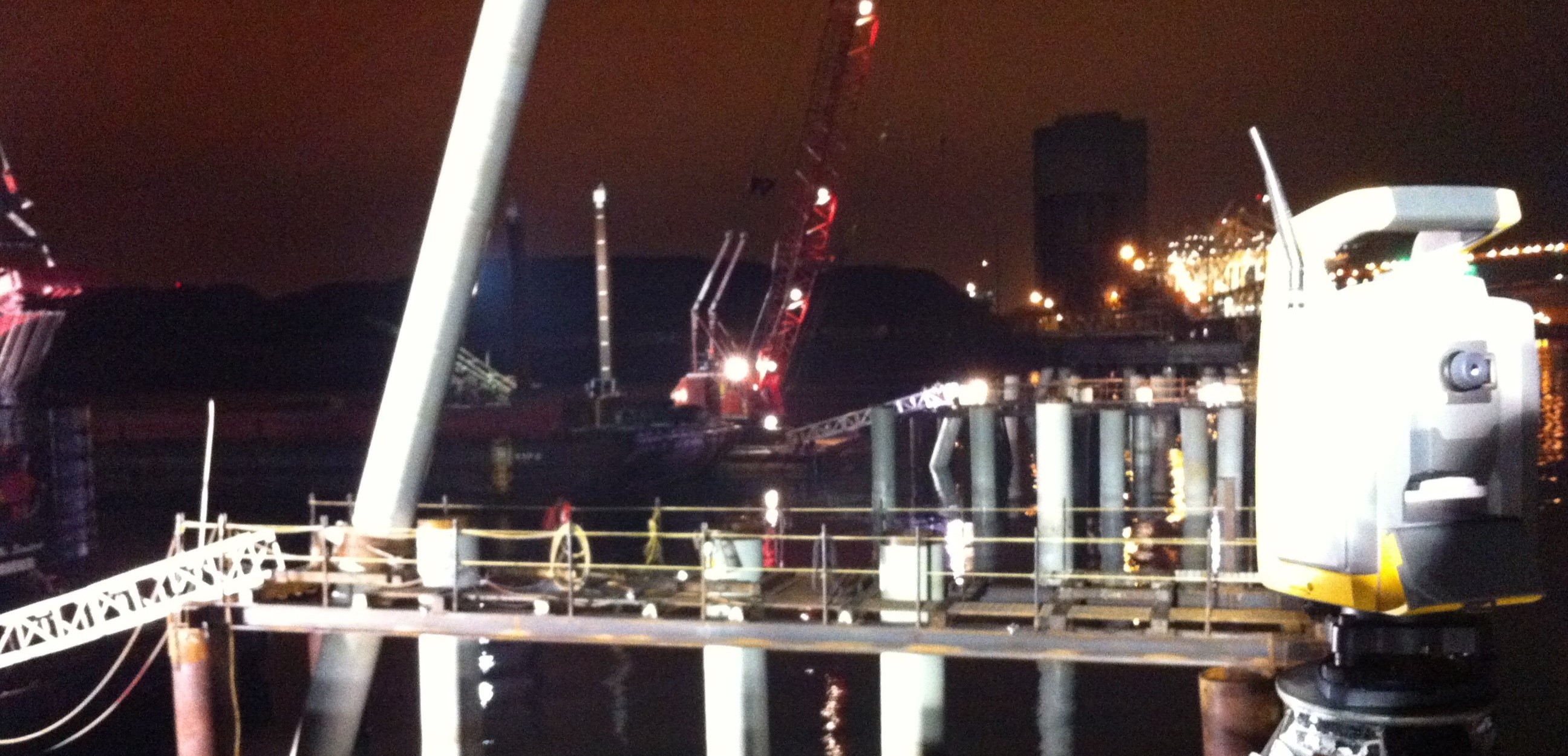
From monitoring site preload piles, to measuring the movement of structures in soft soils, or monitoring the 3D position of a grillage footing during backfill, we'll keep you up to date on how things are moving.
TOPOGRAPHIC SURVEYS
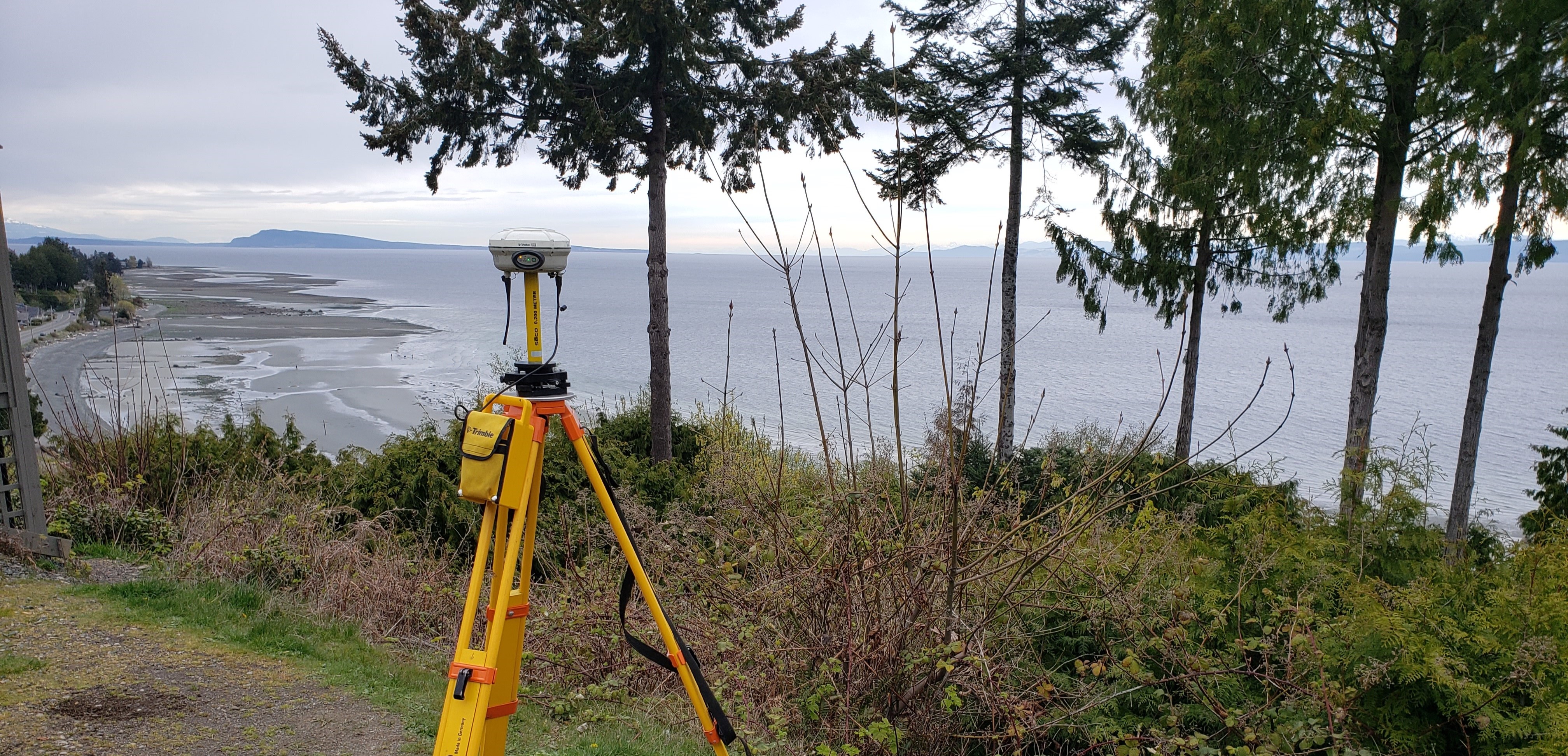
Combining our GNSS equipment and robotic total station, we can pinpoint our surveys on the surface of the earth with an absolute accuracy of a few centimeters.